
The Cattaraugus County Office of Real Property and GIS have created mobile versions of map viewers which can be viewed in a browser and operate in a similar fashion to the standard versions viewed on a laptop/desktop computer. We have also created a set of maps that are utilized by ArcGIS Explorer. These maps can be downloaded directly to your phone and are accessible with or without data coverage.
To view the mobile based versions of viewers such as the Parcel Viewer, navigate to the disclaimer page as you would on a laptop/desktop computer or simply click here.
For a tutorial on how to install and use ArcGIS Explorer, please click here.
1. Click on either of the following links, depending on the type of phone you have:


![]()
Or search for "ArcGIS Explorer" in the store.
2. Search for Cattaraugus County. If a map has a ![]() icon next to it, it must be downloaded and can be used offline without any data coverage available.
icon next to it, it must be downloaded and can be used offline without any data coverage available.
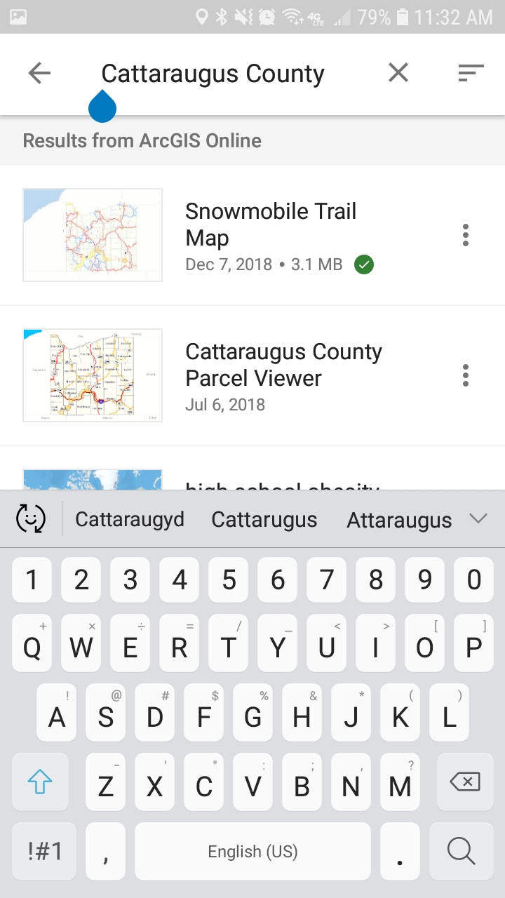
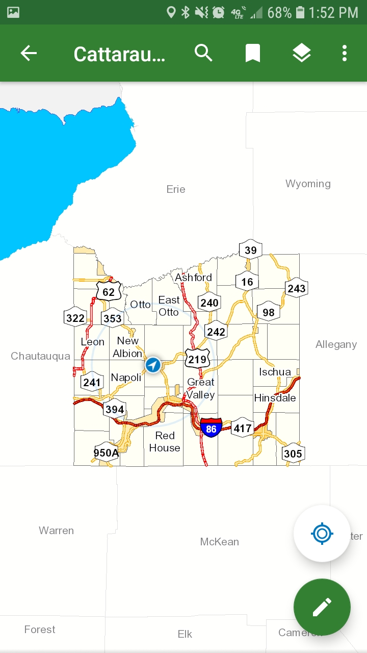
3. Open the map you wish to use.
Maps currently available offline:
Snowmobile Trails
More to come soon!
NOTE: Locations of buttons may vary depending on device.