

-
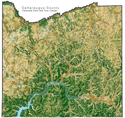
Geographic Information Systems (GIS) is an innovative and powerful tool used to bring data analysis and information to Cattaraugus County's municipalities, businesses and residents. The Planning Division has established itself as a leader in GIS technology and provides expertise in mapping and spatial analysis.
The Planning Division has produced numerous maps for local municipalities in Cattaraugus County, displaying land use, zoning, natural features, and municipal infrastructure in ways that aid in the local government's decision making processes.